 We traveled to the Artic Circle from Fairbanks and the road followed the pipeline.
 One of only three bridges across the Yukon River. The pipeline is next to the bridge.
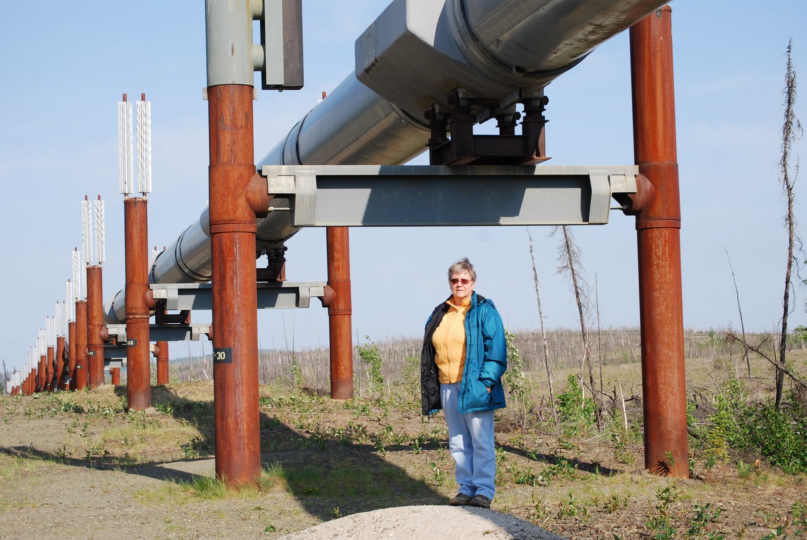
 When the pipeline is above ground it is in a serpentine shape for expansion purposes. It's above ground when it's in a permafrost area. Otherwise, it is buried. Lots of permafrost!
No comments:
Post a Comment